In recent years, the aerial photography industry of drones has developed rapidly, and a large number of well-known drone manufacturers and a large number of drone enthusiasts have emerged. “Looking at the world from another angleâ€, popular vocabulary such as “City of the Sky†is mentioned again and again. The magnificent mountains and rivers that use aerial drones are blowing in the face, watching the drones let the people play a new height, and how much do you know about the types of drones?
Aerial photography of drones is mainly to meet the needs of mass entertainment, mainly based on image recording; while aerial survey type drones are mainly used as production tools to achieve certain economic benefits.

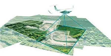
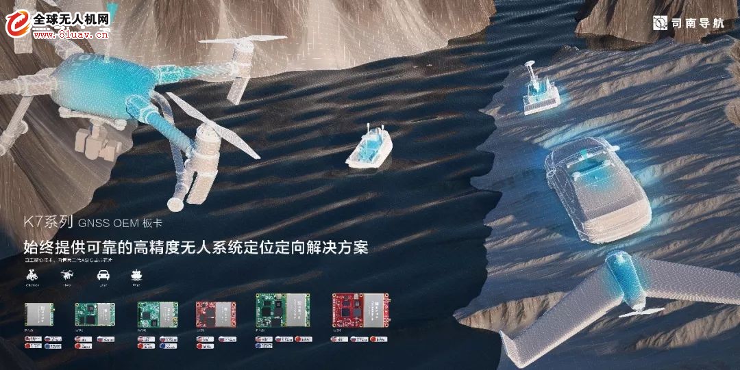
Under the stimulation of drone aerial photography, aerial survey drones are gradually known to the public, such as drone plant protection, power inspection, mapping and geographic information. As a professional aerial surveying drone, it is designed to quickly realize real-time survey and monitoring of large-area geographic information. Therefore, it must not only have higher quality lens quality, but also have high-precision positioning modules. To ensure the accuracy of the flight route, on the other hand, the aerial image data should be converted into geographic information with high-precision position information. For example, UAV aerial survey terrain features, with the support of high-precision camera coordinates and powerful post-processing tools, can achieve high precision requirements of several centimeters, all of which rely on high-precision GNSS modules.

Characteristics and advantages of aerial survey of drones
UAV aerial survey has the characteristics of flexibility, high efficiency, fastness, accuracy, low operating cost, wide application range and short production cycle.

Rapid aerial survey response capability
UAV aerial surveys usually fly at low altitudes, airspace applications are convenient, and are less affected by climatic conditions. The requirements for landing and landing sites are less restrictive. The landing and landing can be achieved through a relatively flat road surface. The flight safety of the pilots is not taken into consideration when obtaining aerial imagery. The geospatial and meteorological conditions for obtaining data are lower, and the manual can be solved. Detect unreachable regional monitoring functions.
Outstanding timeliness and cost performance
The aerial survey of drones can be taken at any time. Compared with satellite and man-machine surveying, it can be completed quickly in a short time, providing users with the required results in time, and the price has considerable advantages.
The monitoring area is limited
Our country is vast in area, with complex terrain and climate. Many areas are affected by snow and clouds all the year round. UAVs can fly aerial under the clouds, making up for the shortcomings of satellite optical remote sensing that are often blocked by clouds.
UAV aerial survey application field
Land mapping
Line selection design
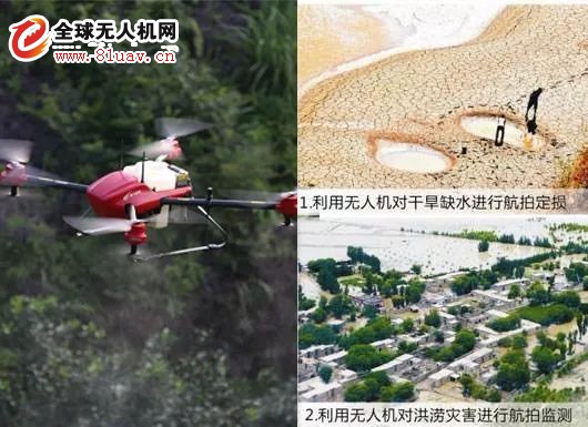
Environmental monitoring
Agriculture and forestry
Emergency response

Undoubtedly, UAV aerial survey is gradually becoming the new darling of the surveying and mapping department. With the introduction and use of more local surveying and mapping departments and data acquisition enterprises, the drone aerial survey will become the “standard†for the acquisition of aerial remote sensing data. Sinan Navigation will also provide a reliable solution for drone aerial surveys.

Air conditioning appliances, automatic control system is commonly used in the device, generally used to switch on and off the circuit, is an important component of automatic control and remote control circuit.
Air Conditioning Relay,Air Conditioning Time Delay Relay,Household Fan Air Conditioning Relay,Energy Efficiency Air Conditioning Relay
Ningbo Xingchuangzhi Electric Appliance Co.,Ltd. , https://www.xingchuangzhi.com